3D Sensing Solutions – Q&A with Cepton Technologies
![]()
With so many developments rapidly progressing in the drone industry, it can be hard to keep up with all the new companies and what it is they offer. This Q&A with one of the leading 3D sensing providers is intended to demonstrate the broad applications of drones in various industries, and how they are being used to make the world a better, more efficient and productive place.
Who is Cepton Technologies? How did the product and the company develop?
Cepton Technololgies, Inc. was founded in 2016 and is a leading 3D sensing solutions provider shipping next generation LiDAR products for the automotive, industrial and mapping markets. Cepton’s high performance LiDAR technology delivers high resolution imaging at low cost to enable perception for smart machines. Based in Silicon Valley, our rapidly growing team has a wealth of experience in LiDAR engineering and manufacturing, computer vision and semiconductors. We are currently shipping our entire line up of offerings comprised of four advanced LiDAR solutions to more than 50 customers worldwide.
In the past two years, we’ve released four long range, high performance sensors that are built upon our patented Micro-Motion (MMT™) platform, which is a precision optical mechanical device that is capable of extremely high resolution imaging while also being extremely power-efficient.
The company was founded by our current CEO Dr. Jun Pei, VP of Engineering Dr. Mark McCord and board member Jun Ye. Before founding Cepton, Pei had concluded that the performance of LiDAR technology had not improved in the past 10 years. Ye challenged him to create a better solution and Pei created a compact sensor with no rotational or frictional parts, leading to the start of Cepton.
In layman’s terms, what is LiDAR technology?
LiDAR utilizes light waves from a laser to send a pulse of light and measure the amount of time it takes to reflect back from objects to determine the distance.
What applications does LiDAR have in the drone industry?
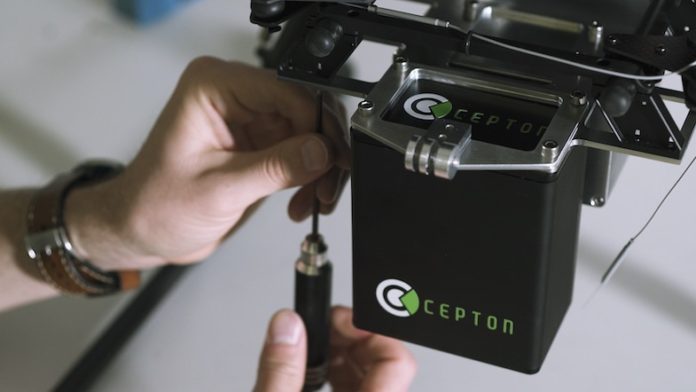
LiDAR technology paired with drones is utilized in the mapping, surveying, mining and agriculture industries. This includes terrain mapping, urban mapping and the mapping of utility assets such as pipelines, powerlines and various infrastructures. Cepton leveraged its core technology from our automotive LiDAR sensors to provide a long range, high resolution and cost-effective aerial LiDAR sensor for use with UAV drones to address the unique needs and requirements of 3D digital mapping. Our SORA 200 is lightweight at 550 grams and has a 200 meter range that provides aerial systems with a lighter payload for extended flight time. It features a rich and dense point cloud of 120,000 point per second and scans at 200 hertz.
What direction do you see the technology and its applications progressing in the next few years?
New LiDAR technology will need to offer cost effective, high performance range with compact designs to enable mass adoption in drone platforms for 3D mapping and 3D perception applications. These advancements will enable the costs of HD 3D mapping production to be significantly reduced. In addition, the industry is converting from mapping to perception; Cepton has solutions for both applications to meet the current market need and next-generation applications. In the future, LiDAR will be customized for perception LiDAR in UAVs.
How is what Cepton offers different than other products on the market?
Many aerial LiDAR companies continue to build LiDAR solutions for manned aircraft that meet long range and high accuracy requirements. These solutions are more expensive, which is not cost efficient for companies or individuals that want to integrate LiDAR solutions into their existing UAVs. As the demand for UAV mapping LiDAR solutions has gotten greater companies are trying to convert their manned aircraft technology into solutions that weigh and cost less. Many of these lower cost LiDAR solutions are still too heavy and expensive, and don’t meet the performance requirements for mapping at high altitudes over long distances.
Cepton started as a company building low cost high performance LiDAR sensors for mass production in automobiles and we adapted our solution for UAVs. As our sensors are mass produced for intergration into automobiles the cost for our UAV sensors will also go down, making us an even more affordable solution. Cepton’s SORA 200 LiDAR sensor, built upon our patented MMT™ technology, offers a 200 meters range packed into a light weight sensor at 550 grams, enabling high density data acquisition at a low price point. The low cost and small sensor size and weight make our LiDAR solutions easier to integrate into UAVs, allowing for prolonged flight times and reduced UAV energy usage, making 3D mapping more accessible for a variety of applications. In addition, our sensors have no rotational parts, which means that the sensor will require less maintenance resulting in a longer life span. Our sensors are already being utilized and integrated into other company’s UAV solutions, including LiDAR USA’s drone system for mapping.
- Data Visualization and Analytics: Q&A with Jan Wouter Kruyt of Propeller Aero – November 7, 2018
- End-to-End Drone Mapping Solutions – Q&A on eBee X and ANAFI Work – October 29, 2018
- 3D Sensing Solutions – Q&A with Cepton Technologies – October 26, 2018
- Would You Rather: Race a Car or Race a Drone – July 18, 2018
- A Modern Take on Drone Insurance – July 9, 2018


