Terra Drone Europe wins contract to provide UAV mapping services to Ordnance Survey
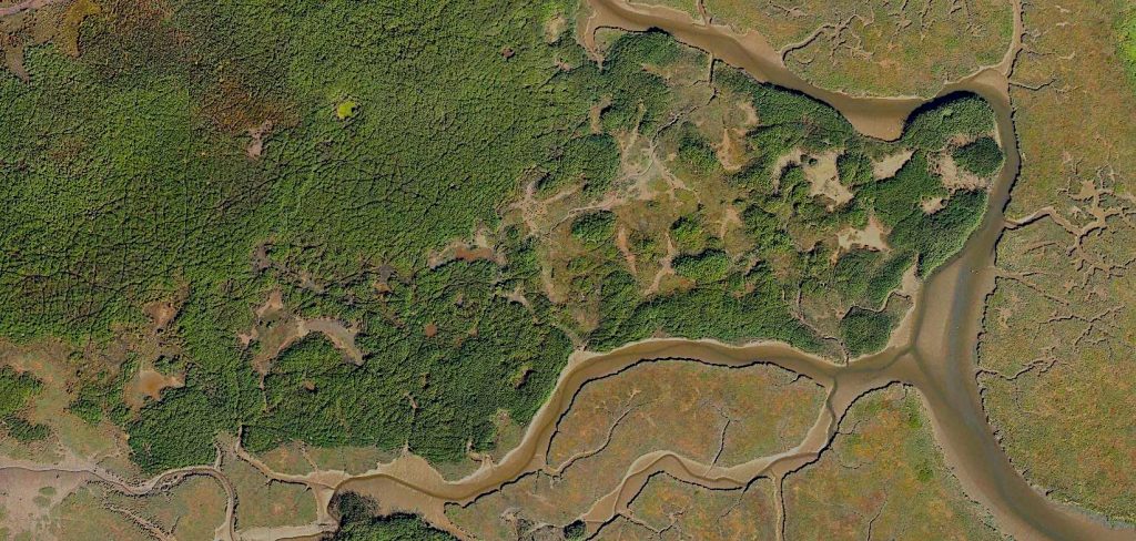
United Kingdom – June 13, 2019 – Terra Drone Europe, a group company of Japan-based Terra Drone Corporation, has secured a framework agreement to provide unmanned aerial vehicle (UAV) services to Ordnance Survey, the national mapping agency of the United Kingdom. Under the scope of this contract, Terra Drone Europe will provide different types of UAV services to Ordnance Survey. The deliverables will include orthomosaics, digital terrain models (DTM) and digital surface models.
Terra Drone Europe has already received over 500 survey locations to survey and will use a range of fixed wing and multirotor UAVs to carry out the surveys. To support the data collection over the entire UK Terra Drone Europe has chosen RUAS as its support to ensure full UK coverage and consistent deployment of teams throughout the UK.
Patrick Rickerby, Technical Director, Terra Drone Europe, said, “This framework shows how Ordnance Survey is using new and innovative techniques to create the most accurate maps of the United Kingdom. We are glad they have chosen us based on our quality and track record in this field.”

Ordnance Survey is extending its vast data gathering capabilities with the addition of dedicated UAV services. This framework agreement will increase Ordnance Survey’s ability to offer accurate and timely data to businesses and enterprises even more.
With more than 25 group companies already in its network, Terra Drone is always on a lookout to collaborate with cutting-edge drone technology companies.
If you want to support Terra Drone on its quest to generate aerial innovations that have a great impact on our society, please contact info.en@terra-drone.co.jp

About Ordnance Survey
Ordnance survey are the national mapping agency for the UK and is responsible for generating and updating mapping. To do this, Ordnance Survey employs over 300 ground surveyors, owns two permanent aircraft as well as other aerial imagery providers and many more contracts which provide mapping and digitising services. All these activities serve to create the most accurate and up to date maps of the entire United Kingdom which is essential to many businesses and services.
About Terra Drone
Terra Drone Corporation is one of the world’s largest industrial drone service companies with more than 500 employees, established in 2016. The company’s head office is located in Tokyo, Japan, with more than 25 branches globally throughout APAC, the European Union, Africa and South America. Terra Drone provides innovative industrial drone technologies empowered with LiDAR and photogrammetric surveying methods for construction, electricity, energy, and oil and gas sectors. Terra Drone specializes in high-performance hardware, cutting-edge software, drone services, and drone traffic management systems (UTM).
About RUAS
RUAS are a professional drone services company and training provider based in South Wales. Since they entered the commercial market in 2011 their name has been synonymous with the highest quality and standard of UAV piloting and training. They operate fixed wing and multi-rotor aircraft and have operational teams around the country. More recently the company have moved in to providing counter drone support on high risk areas such as airports.


