Webinar: How to Effectively Combine LiDAR Data with Imagery
![]()
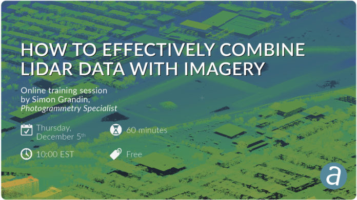
The use of LiDAR sensors for mapping is growing, as recent technological advances even allow them now to be mounted on drones. LiDAR point clouds are often collected in conjunction with imagery, which combined together lead to very rich datasets. This training session will discuss how to combine LiDAR data with imagery to generate orthomosaics as well as colorized point clouds. Specifically, attendees will learn about the following:
– Importing LiDAR point clouds– Registering LiDAR data and images automatically– Orthorectifying on LiDAR DEMs– Colorizing LiDAR point clouds
Link to register: https://bit.ly/34ecNoi

